Thursday, 17 March 2011

Outside Edge donate kit for testing

Thank you very much to Outside Edge in Oban, who have very generously donated a women's Montane Lite-Speed windproof for testing during training and the challenge in May. Being made from the highest quality Pertex Microlight (rip-stop), the jacket weighs in at 150g. The Lite-Speed is completely windproof and quick drying, with an apparently durable water repellency (DWR). It also packs down into a tiny weeeny stuff sack of its own.

I have previously only used a Rab smock windtop without a hood, so i'm interested to see how the Pertex Microlight fabric compares and also whether the front zip and hood prove useful on the hill.

Please see the 'KIT' tab for more details on this item and for performance reviews (...in due course!)

Thanks again to Dave Bleazard!
Visit Outside Edge in Oban (6 MacGregor Court) or call: 01631 566617  
http://www.outsideedgeoban.com/

Sunday, 13 March 2011

Weekend March 12/13th

This weekend Ben and I had family to visit us in Glencoe, which meant I was lucky enough to have a weekend off from training! Having said this, we still got out and about in the snow. On Saturday we walked up Beinn na Lap (935m) via the SW ridge, from Corrour Station in some pretty wild wind and deep snow.
 
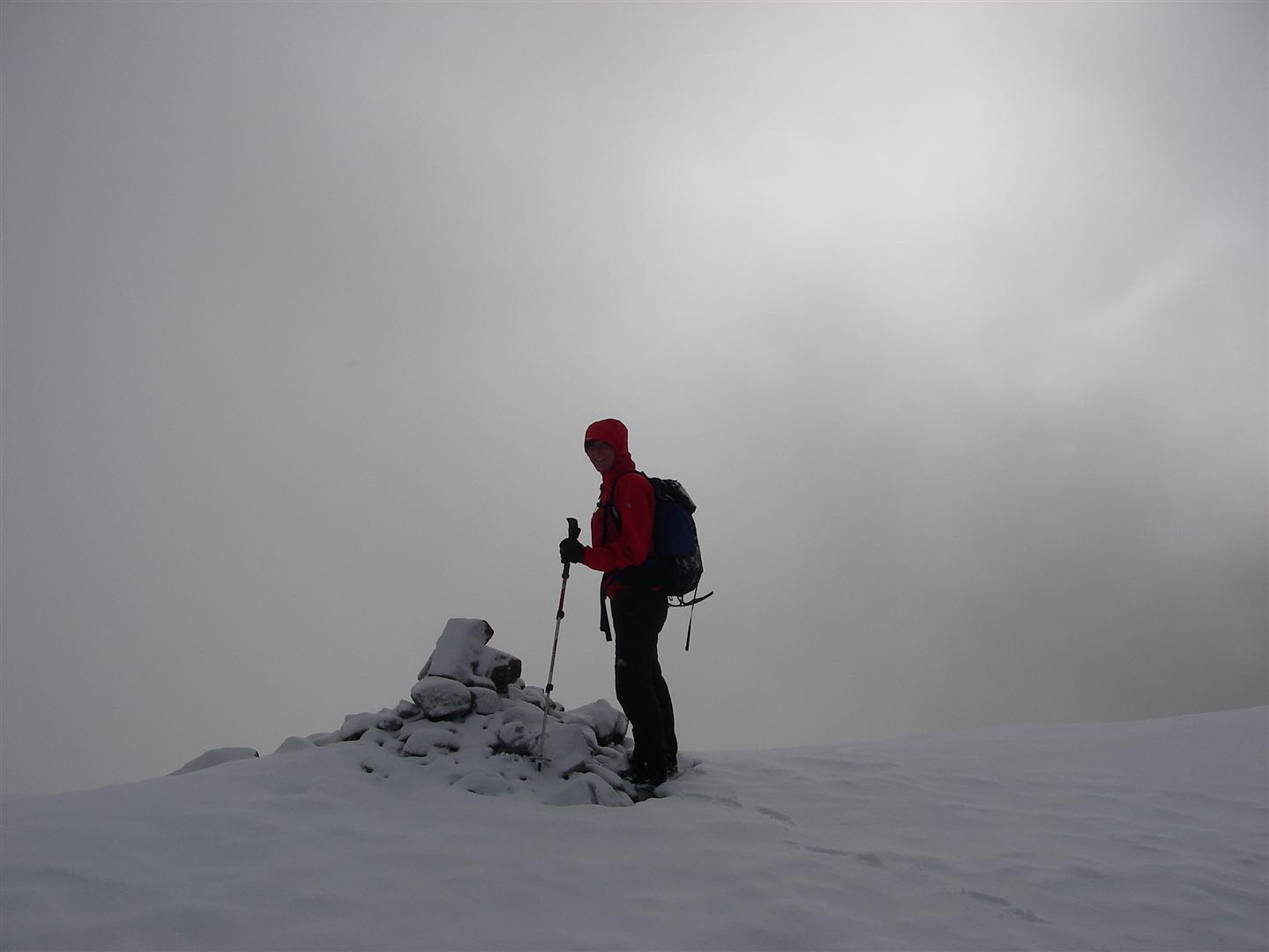
Summit cairn group shot!
On Sunday the plan was to walk part of the West Highland Way from Glencoe to Kinlochleven, via the Devil's staircase but in practice the snow was WAY too deep and we made very slow progress!

In the end turned back in favour of coffee and cake!

Later we decided to burn off a few of these calories by ploughing our way up to the telemast at the summit of am Meall (414m) before dark. The snow was VERY wet and thigh-deep near the top but we got some views of the Pap of Glencoe and Sgorr Ban looking bleak in the fading light.


Friday, 11 March 2011

Distance and Ascent

Using Memory Map, paper maps, reference books and a bit of guesswork, I have come up with the following table of stats for the distance and ascent of each day of my UK Big 3 Challenge (gulp!!!)

Round
Leg/Day
Distance (miles)
Ascent
(metres)
PBR
1
19
2800
PBR
2
15
2200
PBR
3
14
1600
PBR
4
13
2100
BGR
1
21
2740
BGR
2
15
1600
BGR
3
14
1800
BGR
4
16
1981
CRR
1
19
3590
CRR
2
22
2672
CRR
3
19
2900
TOTAL

187
25,983

These stats represent my legs (i.e. how I have divided the rounds up into days), rather than the classic legs associated with the 24h running challenges. These values are also very approximate and could vary considerably. However, it is a good guideline for what I can expect.

Looks like the mamores are going to take the prize for hardest day (19 miles, 3590m)!!!

Monday, 7 March 2011

Training Weekend 5/6th March

This weekend Arlene and I headed to the Lake District to investigate the longest and hardest legs of the Bob Graham Round.


DAY 1: Dunmail Raise to Wasdale. Total length 27.5km (17 miles), with 2046m ascent (and descent 2203m). Dunmail Raise to Wasdale.

Pike O'Stickle towards Harrison Stickle
After dropping the car at Honister Slate Mine on Friday night, we got a taxi to the Keswick Youth Hostel. On Saturday morning we caught another taxi to Dunmail Raise to start our walk (at 7:30am). After some apprehension about the slog up to Steel Fell from Dunmail Raise, it really wasn't as bad as we were expecting. The day started well and we enjoyed ticking off Steel Fell and then Calf Crag, as both are relatively low peaks. From here we decided to follow Mere Beck to the head of the river before aiming for Sergeant Man. By this time however, the clag had settled in and the visibility had become very poor (only about 10m).

High Raise
We then had some difficulty finding the summit of Sergeant Man but after much pacing, circling and shivering, we finally made it to the summit. From here we struck out to High Raise, disappointed that we would not see the infamous view from the summit (762m). As we headed south from here, towards Thunacar Knott, I realised that I had left my poles on the summit of High Raise. After reversing the last 500m and collecting the poles, we started to realise that we had wasted quite a lot of time on this early section of the walk!


Thunacar Knott
We then proceeded to walk SE from Thunacar Knott through craggy ground and made a quick scramble up the rock step of Harrison Stickle. Dropping through flatter, boggy ground, the cloud started to clear (coming and going), giving us a sudden view of Pike O'Stickle. We were surprised that there is actually a sort of staircase up the side of this summit!! The last 10m to the top is a fun little scramble, yielding a cracking view back to Harrison Stickle.

Towards Harrison Stickle
 From here we descended quickly to Martcrag Moor to try out the shortcut on the Bob Graham map (up a rocky terrace to the col before Black Crags). Somehow however, we missed the traverse and ended up climbing too vertically, ending up on the ridge a bit further to the right (NE). From here we followed the rough ridge to Rosset Pike near the far end. The next section is a cheeky scrabble weaving through chunky scree, boulders and crags (Hanging Knotts). At the top of the crags there is a cairn at 866m and a short distance to our 9th summit, Bowfell at 903m. This summit was busy, so we stopped out of the wind to have a late sandwhich (3pm!)

In the improving weather it was a relief to be able to put the compass away and head for peaks as they appeared on the skyline ahead. The ascent up Esk Pike passed almost unnoticed and we soon felt like we were ticking summits more quickly.

The highest peak in England!
 As the afternoon closed in we visited the flat topped Great End (907m), the rocky pile of Ill Crag (930m) and the jumble of rocks Broad Crag (934m), before we found ourselves on the NE ridge of Scafell Pike (977m). Arlene had never been up this famous top before, so it was a great treat for her that we actually had a view from the summit.


With the final peak approaching (Scafell), I started thinking about the easy rock climb Broad Stand that stood in our way. I had packed my rock shoes in my bag with the vague idea of soloing the route while Arlene walked round. I gave it a try but with the crux sopping wet, it took me a long time to work out alternative moves (avoiding obvious but slimy footholds). Finally I pulled over and made my way up the scramble above.
    
Broad Stand
  

Broad Stand in context


On the summit (964m) I waited for Arlene to appear. As more and more time passed we both wished we had made a more detailed plan for meeting up! As it became dark we managed to narrowly miss each other; with Arlene on her way up and me on my way down to look for her! I then headed down towards Wasdale Head from the col at Mickledore (hoping to find phone reception) while Arlene waited for me on the summit (bless her!) Finally I caught sight of her headtorch (descending via Green How) and we were reunited at the bottom at 9pm!! That evening we laughed about our crazy epic over a pint in the Wasdale Head Inn! 

DAY 2: Wasdale to Honister. Total length 18.6km (11.5 miles), with 2151m ascent (and descent 1873m).


This is a fantastic day out in good visibility because you can see the whole route stretching out ahead/behind you...Brilliant.

Today the weather was fantastic and we enjoyed sunshine as we struggled up the steep side of Yewbarrow and out of the Wasdale Head valley. From Yewbarrow (628m) there is a great little rocky traverse which enables you to drop quickly and easily to the low col at Dore Head (486m). It felt a total tragedy to lose the height just gained ascending Yewbarrow, only to be faced with the huge Red Pike (828m) in front of you! This was tempered by a great view round the horseshoe all the way to Kirk Fell.
 
 A bend in the wall on the north edge of Scoat Fell marks the beginning of the spur towards Steeple (849m). A striking feature with an exposed but easy scramble; this is a fab little top. It is surrounded by interesting rocky ridges and gullies. Steeple was definitely my favourite tick on this leg! Following the ridge eastwards, we scrabbled over boulders down into Windy Gap. The pull up on to Pillar from here is short but sweet, giving way to a broad flat summit with panoramic views.

Kirk Fell and Great Gable


Pillar
The next stretch was an enjoyable and easy angled (mostly) descent down to another low col at Black Sail Pass (542m). From this col, any route up the awesome Kirk Fell looked all but impossible. We followed the track upwards, weaving through fence posts, then drifting left to finish up a steep red-rock gully towards the top (this would have been very loose if it wasn't frozen!) The actual summit cairn was still a long way off though and as we walked, we looked ahead, to the Great Gable growing before our very eyes!

Great Gable

We tried to stay positive as we dropped from Kirk Fell summit (802m) down to Beck Head col (620m), with the last big climb up Great Gable (899m)just ahead . The zigzagging path is good but soon gives way to scrambling up steep piles of boulders towards the top. At this point all the hard work for this leg of the BGR is behind you, as all the remaining tops are lower. A short but steep drop-off then brings you to a narrow col between Great Gable and Green Gable, and a red slope rises up ahead.   

It was massively satisfying to look back and up at the peaks we had come from, knowing we were on the homeward stretch. An easy walk lay ahead to Brandreth (one cairn amoungst several, at a very similar height!), then on to a small rocky outcrop called Grey Knotts (697m).

We could see the road below as we descended grassy bogs to the left of craggy ground. We popped out in the Honister Slate mine, relieved to see that the car was where we had left it!!

The ascent on this leg of the BGR is HUGE and it is this that makes it seem so much harder than you would expect from its total length. Nevertheless, Arlene and I had a perfect day on some of the most interesting fells the Lakes has to offer.

Thursday, 3 March 2011

Media Frenzy!!!

This week's copy of the Oban times (Lochaber Edition) features an article on the UK Big 3 Challenge (Thursday 3rd March edition). Complete with big claims and large photographs it is really quite embarrassing (blush blush) but great for raising the profile of the challenge and the charities I am supporting! 


Please also seee the following link for a Water Aid news article:
http://www.wateraid.org/uk/get_involved/events/event_news/9592.asp

Monday, 28 February 2011

Training Weekend 26/27th Feb

DAY 1: This weekend I was hoping for some winter climbing action but unfortunately the weather was quite mild and the freezing level very high. For this reason, my partner, Ben and I decided to have a stab at a winter traverse of the Mamores ridge. There are 10 Munros on this ridge and several out-and-back doglegs are neccessary to tick outlying summits, making it a VERY big day...

The Mamores Looking East from the Devil's Ridge
 
The section we managed!
We started from Glen Nevis at 9:00am on Saturday morning with the NE Ridge of Mullach nan Coirean. (939m). Due to a thaw last week, the snowline was over 800m and anything still lying in gullies was old and soft. From this summit we tackled increasingly difficult terrain as we ascended the rocky/bouldery slopes of Stob Ban (999m). At this point I started to reaslise that the Mamores were not going to feel much like a typical ridge walk - there is a lot of height loss and gain between summits, making travelling from top-to-top pretty time-consuming.  

Summit of Stob Ban
By the time we had reached the summit of Stob Ban, the snow showers had started and visibility was patchy. From here we dropped to a lochan west of Sgurr an Lubhair (at 760m) before ascending a zig-zagging stalkers path up a broad rib to the col south of Stob Choire a Mhail. The next stage was the first dogleg; an out-and-back traverse of the Devils Ridge to the summit of Sgurr a Mhaim (1099m).


Ben on the Devil's Ridge
On the Devils Ridge the conditions were certainly wintry and we donned our crampons and swapped poles for an axe about halfway along. The ridge is exposed and interesting but we encountered no major dicfficulties. 
 
Devil's Ridge
Sgurr an Lubhair
On Sgurr a Mhaim we were awarded a glimpse of Ben Nevis to the North, and then a view of the ridge stretching out to our left and right as we looked south, back along the Devils Ridge. In the sun this view was magnificent! The next summit on the main ridge is Sgurr an Lubhair. Although this peak stands at 1001m it is not a Munro (it is included in the Ramsay Round however). By now there was now about an inch of fresh snow on the ground, slowing our walking pace a little (slippy slippy!)


Descending Am Bodach
The tops started to feel closer together as we began our ascent up the nicely angled west ridge of Am Bodach (1032m). Sadly the same cannot be said of the NNE ridge of Am Bodach. Descending this way in winter is not an easy line. On this occasion the slope was comprised of soft snow, covering a base of ice and rocks. We used our axes to descend backwards and cut steps wherever it became icy.

All too soon we were ascending again, this time from the col at 825m back up to the summit of Stob Coire a Chairn (981m). Frustratingly, this top is not a Munro but An Gearanach to the north of it is (at 982m!!!) For this extra 1m it is neccessary to undertake another kilometre long out-and-back scramble. We decided to continue on to Na Gruagaichean (1055m) and leave this stretch for another day! Although only 74m different in height, to gain the cairn at the top of this mountain you have to lose about 200m and then gain another 274m! Phew!! The wind had increased dramatically by this time of day and the spindrift was whipping off the ridge into our faces, so that at times we had to walk sideways like a crab just so that we could keep our eyes open!

Ben on Na Gruagaichean
Both of us had run out of food and were now starting to flag. The final pull up onto the summit of Na Gruagaichean was a tricky scramble up icy slabs (with very tired legs!)

By now it was approaching 5:30pm and it seemed a good time to call it a day and give up!! From this last top we scuttled off down the south (then SW ridge) to the Mamore Lodge where we had left a car. We had visited 6 of the 10 Munros on the ridge (7 of the 11 summits on this leg of the Ramsay Round). Worryingly, the Eastern Mamores involve even more significant ascent and descent, as Binnein Beag and Sgurr Eilde Mor are complete outliers from the ridge proper.....

Overall our route was 20.5km (12.8 miles) in length, with 2357m ascent (and 2204m descent!)

Biking past Lochan Earba
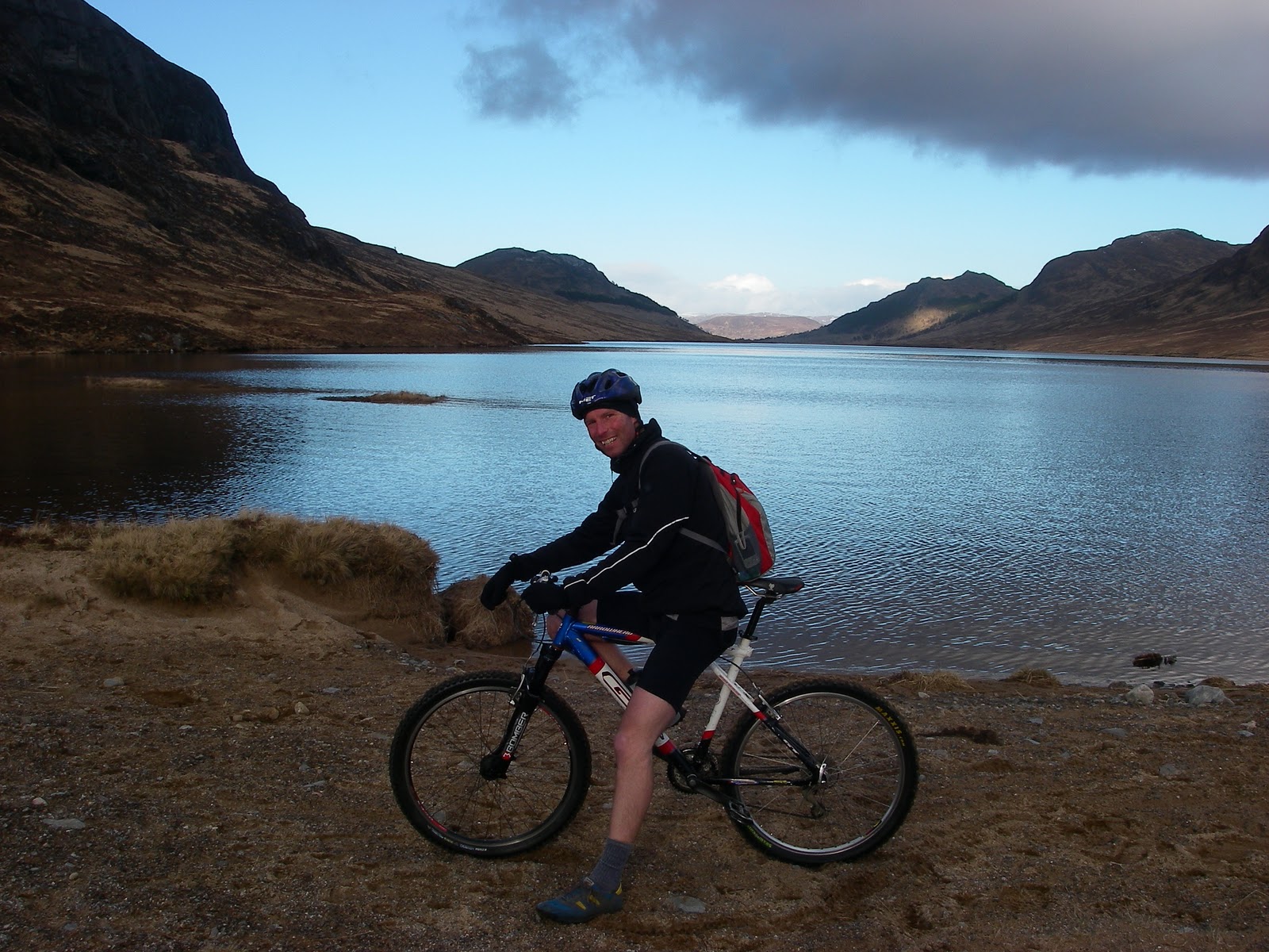
 DAY 2: A leisurely mountain bike ride along Lochan Earba (18km and 245m ascent only). On Sunday Ben and I drove to northern tip of Loch Laggan and enjoyed a very sunny and relaxing ride along the shore of Lochan Earba! The tops has a slight dusting of snow and the views were gorgeous.
Heading homeward with a view of Creag Meagaidh 

New Hill Walking Website (UKH) Features UK Big 3 Challenge

UKHillwalking (UKH) is an offshoot of the popular climbing website (and goldmine for handy beta) UKClimbing (UKC): http://www.ukhillwalking.com/

Hopefully this new site, launched today, will prove an equally useful resource and will keep us all updated with mountain-related goings on around the world! It seems to have lots of interesting features including Map my Route, Log my Summits, an Activity Diary and a Logbooks function similar to that found on UKC.

UKHillwalking already has a news article on the UK Big 3 Challenge:
http://www.ukhillwalking.com/news/item.php?id=60561