Monday, 28 February 2011

Training Weekend 26/27th Feb

DAY 1: This weekend I was hoping for some winter climbing action but unfortunately the weather was quite mild and the freezing level very high. For this reason, my partner, Ben and I decided to have a stab at a winter traverse of the Mamores ridge. There are 10 Munros on this ridge and several out-and-back doglegs are neccessary to tick outlying summits, making it a VERY big day...

The Mamores Looking East from the Devil's Ridge
 
The section we managed!
We started from Glen Nevis at 9:00am on Saturday morning with the NE Ridge of Mullach nan Coirean. (939m). Due to a thaw last week, the snowline was over 800m and anything still lying in gullies was old and soft. From this summit we tackled increasingly difficult terrain as we ascended the rocky/bouldery slopes of Stob Ban (999m). At this point I started to reaslise that the Mamores were not going to feel much like a typical ridge walk - there is a lot of height loss and gain between summits, making travelling from top-to-top pretty time-consuming.  

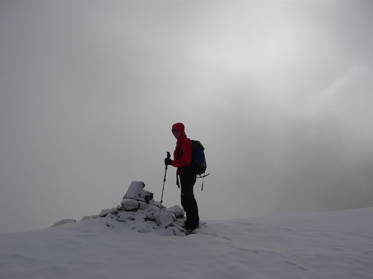
Summit of Stob Ban
By the time we had reached the summit of Stob Ban, the snow showers had started and visibility was patchy. From here we dropped to a lochan west of Sgurr an Lubhair (at 760m) before ascending a zig-zagging stalkers path up a broad rib to the col south of Stob Choire a Mhail. The next stage was the first dogleg; an out-and-back traverse of the Devils Ridge to the summit of Sgurr a Mhaim (1099m).


Ben on the Devil's Ridge
On the Devils Ridge the conditions were certainly wintry and we donned our crampons and swapped poles for an axe about halfway along. The ridge is exposed and interesting but we encountered no major dicfficulties. 
 
Devil's Ridge
Sgurr an Lubhair
On Sgurr a Mhaim we were awarded a glimpse of Ben Nevis to the North, and then a view of the ridge stretching out to our left and right as we looked south, back along the Devils Ridge. In the sun this view was magnificent! The next summit on the main ridge is Sgurr an Lubhair. Although this peak stands at 1001m it is not a Munro (it is included in the Ramsay Round however). By now there was now about an inch of fresh snow on the ground, slowing our walking pace a little (slippy slippy!)


Descending Am Bodach
The tops started to feel closer together as we began our ascent up the nicely angled west ridge of Am Bodach (1032m). Sadly the same cannot be said of the NNE ridge of Am Bodach. Descending this way in winter is not an easy line. On this occasion the slope was comprised of soft snow, covering a base of ice and rocks. We used our axes to descend backwards and cut steps wherever it became icy.

All too soon we were ascending again, this time from the col at 825m back up to the summit of Stob Coire a Chairn (981m). Frustratingly, this top is not a Munro but An Gearanach to the north of it is (at 982m!!!) For this extra 1m it is neccessary to undertake another kilometre long out-and-back scramble. We decided to continue on to Na Gruagaichean (1055m) and leave this stretch for another day! Although only 74m different in height, to gain the cairn at the top of this mountain you have to lose about 200m and then gain another 274m! Phew!! The wind had increased dramatically by this time of day and the spindrift was whipping off the ridge into our faces, so that at times we had to walk sideways like a crab just so that we could keep our eyes open!

Ben on Na Gruagaichean
Both of us had run out of food and were now starting to flag. The final pull up onto the summit of Na Gruagaichean was a tricky scramble up icy slabs (with very tired legs!)

By now it was approaching 5:30pm and it seemed a good time to call it a day and give up!! From this last top we scuttled off down the south (then SW ridge) to the Mamore Lodge where we had left a car. We had visited 6 of the 10 Munros on the ridge (7 of the 11 summits on this leg of the Ramsay Round). Worryingly, the Eastern Mamores involve even more significant ascent and descent, as Binnein Beag and Sgurr Eilde Mor are complete outliers from the ridge proper.....

Overall our route was 20.5km (12.8 miles) in length, with 2357m ascent (and 2204m descent!)

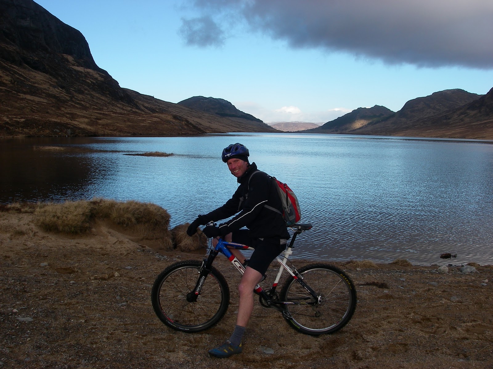
Biking past Lochan Earba
 DAY 2: A leisurely mountain bike ride along Lochan Earba (18km and 245m ascent only). On Sunday Ben and I drove to northern tip of Loch Laggan and enjoyed a very sunny and relaxing ride along the shore of Lochan Earba! The tops has a slight dusting of snow and the views were gorgeous.
Heading homeward with a view of Creag Meagaidh 

New Hill Walking Website (UKH) Features UK Big 3 Challenge

UKHillwalking (UKH) is an offshoot of the popular climbing website (and goldmine for handy beta) UKClimbing (UKC): http://www.ukhillwalking.com/

Hopefully this new site, launched today, will prove an equally useful resource and will keep us all updated with mountain-related goings on around the world! It seems to have lots of interesting features including Map my Route, Log my Summits, an Activity Diary and a Logbooks function similar to that found on UKC.

UKHillwalking already has a news article on the UK Big 3 Challenge:
http://www.ukhillwalking.com/news/item.php?id=60561

Thursday, 24 February 2011

Joe Browns stores donate kit for testing

Thank you very much to Sue and team at Joe Browns who have kindly donated the following equipment for testing:

A Source Widepac 1.5L Hydration System for drinking on the move. Voted 'best in test' by Trail magazie in 2010, it claims to be easy to use, easy to clean & dry, and easy to refill on the hill: a great choice. I normally use a bottle (or just a cup!) and have never tried out a hydration system before; so this will be a first for me...

This generous sponsor has also donated a very swish Arcteryx Phase AR Zip Neck baselayer in Bondi Blue. This is a lightly insulated, zip-neck base layer, ideal for use during aerobic activities in cooler conditions. It might just be too gorgeous to sweat into though!!

See the 'KIT' tab above for product details and performance reviews.

For the full range of clothing and equipment visit: http://www.joe-brown.com/

Wednesday, 23 February 2011

Nevisport donate New Mountain Equipment Jacket for Testing

As sponsors, Nevisport have kindly donated the new Mountain Equipment Firefox II Jacket (in Flame Scarlet). The jacket is a sample for testing and won't be in production until this autumn. Obviously Nevisport will be stocking this jacket and are looking forward to hearing how it performs....

The jacket is Mountain Equipment's lightest mountain jacket and is made of the new Goretex Active Shell material, the most breatheable Goretex manufactured to date. If in May it rains anything like it is right now, this jacket should certainly get put through its paces!

Please click the 'KIT' tab above for more details about kit/equipment donated by sponsors and to read reviews about its performance.


Thank you very much to Nevisport Director Rab Ferrell for giving me the opportunity to try out this brilliant little jacket (it hardly weighs anything and looks sliiiick!) Thank you also to Nancy for all her help and encouragement!

For the full range of clothing and equipment visit: http://www.nevisport.com/

Walk Highlands coverage

Walk Highlands website has put up a news article on the UK Big 3 Challenge:

http://www.walkhighlands.co.uk/news/lochaber-woman-to-tackle-3-uk-mountain-rounds/003431/

I'm hoping that with about 7000 unique visitors a day to the Walk Highlands site, this article will help drum up some interest and maybe even some more donations! If you haven't used Walk Highlands before you should!!! Especially their excellent 'Find-a-Walk" feature, which allows you to search Scotland for your ideal day out, using loads of parameters from distance, ascent and scrambling grade to bog factor!!!

Visit this link: http://www.walkhighlands.co.uk/

Monday, 21 February 2011

UK Big 3 Challenge on Grough

Check out the following link for a Grough article on my challenge:


http://www.grough.co.uk/magazine/2011/02/18/charity-woman-will-tackle-mountain-runs-at-walking-pace

Training Weekend 19/20th February

DAY 1: On Saturday, my friend Arlene and I took a ferry over to Mull to walk the horseshoe around the corbett Dun da Ghaoithe, from Craignure. Our day totalled 17.7km (11 miles) and 942m ascent. We set off from the ferry port at Craignure at about 11:15am (the ferry was running late). We walked briefly along the road before taking the turning opposite Torosay Castle towards the mast at Maol nan Uan. Blessed with horrendous visibility (as always), Arlene and I stumbled across the first mast without seeing it advance. In the snow we nearly missed the fork in the track to the higher mast at 545m. From here we experienced total white-out conditions and had to walk on a bearing along the ridge towards Mainnir nam Fiadh. Suddenly we remembered that compasses are not always reliable on Mull due to the magnetic volcanic rock! This made us rather uneasy (given that we could hardly tell up from down), so we hugged the northern edge of the broad ridge which funnelled us up to the trig point on Mainnir nam Fiadh (754m). At 640m we donned our crampons. The cairn on the summit is HUGE and in the low visibility we didn't know what it was until we were practically standing on it! Handrailing the ridge edge on our right (at a bit of a distance due to cornices), we made our way to the summit of our objective for the day, Dun da Ghaoithe (766m). At times we could see literally nothing but our feet! This summit had another massive cairn and after a quick photo we headed off on a bearing northward, for the Ben Chreagach ridge (which runs NE). 

Summit of Dun da Ghaoithe, Mull
At about 660m we experienced a momentary clearing and the striking ridge toward Ben Thunicaraidh appeared out of the gloom. Our planned descent route still in mist, we struck out for this new objective and stomped along the ridge to the the summit at 648m.
Heading for the ridge towards Ben Thunicaraidh
in a brief thinning of the cloud
From here we skirted the western slopes of Beinn Mheadhon and headed down through scree and knolls towards the river (Allt Achadh na Moine).  Due to the conditions, the day had been quite slow going. By now we were aware that we were likely to miss our 5pm ferry home (the last one!!). We scurried down the river bank, crossing the water hurriedly and filling out boots. Finally we located the track down to the road at Scallastle Bay. At 4:45pm, the only way we were going to make our ferry was if we could hitch a lift. With out thumbs out we stormed off in the direction of Craigniure. At 5:20pm we still didn't have a lift and were convinvced the game was over. Spotting a cave we joked about this being our probable resting place for the night! At that moment we were lucky enough to score a lift from two very helpful ladies (thank you!) Arriving at Craignure at about 5:30pm we were delighted to find that the final and now heavily delayed ferry still had not left (or even arrived!!) Happily we caught the ferry home at 6:15pm for pizza and beer (or in my case, a cider as usual!) Despite the lack of a view, saturday was excellent navigation-skills practice and well worth the effort.

DAY 2: On Sunday we had ambitious hope to do a winter traverse of the Ballachulish Horseshoe. Leaving the car at 8:15am we followed the track from Ballaschullish school towards the East-North-East ridge of Sgorr Bhan.

The East-North-East ridge of Sgorr Bhan is
the one on the left of the facing corie
However, after several rocky steps (and at about 700m) we felt it was too windy to continue enjoyably. The ridge is a 1* grade scramble in summer but it was obviously in winter condition and taking the full brunt of the wind on this occasion, which was much stronger than forecast. With the summit ridge in cloud and strong gusts, we descended with our tails between our legs, thinking it to be less that ideal conditions for such a classic ridge walk (we would save it for a better day!) Ironically, by the time we reached the village, the weather was clearing and the cloud level lifting!

We popped home for tea and lightened our bags, before nipping up the Pap of Glencoe (Sgorr na Ciche) at 742m. We were surprised by how busy it was up there (we saw about 16 people)! With dark clouds rushing through a clearing sky we had fleeting glimpes of the view from the summit before heading down. We were back at the car for 3:15pm.

Overall on Sunday we walked a total of only 10.7km (6.7 miles) but had climbed 1492m!

View of Loch Linnhe from the lower slopes of Sgorr na Ciche